Routes
The Streets That Move Accra
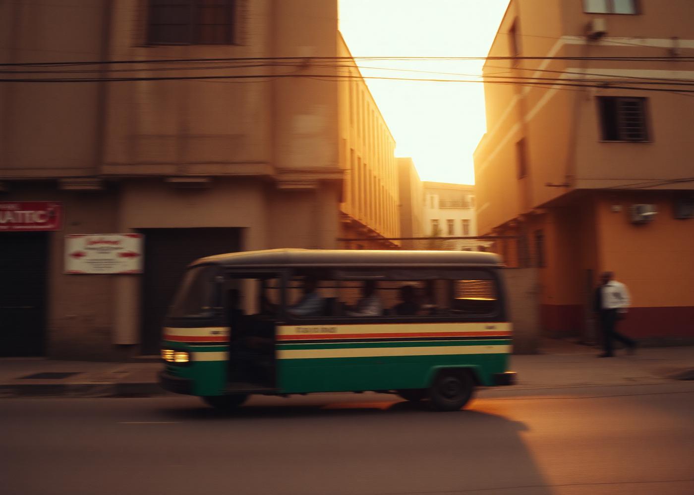
Ask someone in Accra where they live and the answer will usually be a junction rather than a street. Directions are given in movement, not addresses.
The junction as an address
Accra grew faster than its street signage, and people filled the gap with something more durable: shared landmarks. A roundabout, a filling station, a church, a market gate. These become the coordinates everyone agrees on.
The result is a city that is legible even where it is unmapped. You do not need a street name to arrive; you need to know which junction to get down at.
Movement as language
The trotro system runs on a vocabulary of calls and hand signals — a route named in two words, a destination indicated with a gesture through an open window. It is a functioning transit language with no printed manual.
That informality is not disorder. It is a system optimised by daily repetition, and it carries a lot of cultural information in very few words.
Why it becomes a garment
When we draw a route, we are drawing something people already carry. The line has emotional weight because it corresponds to hours of a real life: the commute, the return, the visit.
That is the test we apply to every graphic — does it describe something someone already knows in their body?